An Inertial Navigation System (INS) is a self-contained navigation technology that determines position, velocity, and orientation without relying solely on external signals like GPS or GNSS (Global Navigation Satellite System). Instead, it uses inertial sensing to measure linear acceleration and rotational velocity, applying precise mathematical models to calculate movement through dead-reckoning. This enables accurate relative positioning, and when combined with satellite data, reliable absolute positioning.
At the core of modern INS technology is the Inertial Measurement Unit (IMU), which integrates an Accelerometer, Gyroscope, and sometimes a Magnetometer across orthogonal axes (X, Y, Z). Using vector calculation, trigonometry in navigation, and continuous high-frequency sampling (1 kHz), the system performs advanced motion tracking within an inertial reference frame, grounded in Newton’s Law of Inertia.
What Is an Inertial Navigation System (INS)?
An Inertial Navigation System (INS) is a self-contained navigation technology that determines position, velocity, and orientation using inertial sensing rather than external signals. It works through dead-reckoning, meaning it calculates motion based on internal measurements from a known starting point. Unlike GPS or GNSS (Global Navigation Satellite System), an INS does not depend on satellites for continuous operation.
This makes the INS explained concepts especially important in aerospace, defense, and autonomous systems where signal loss is common. By combining linear acceleration and rotational velocity measurements, the system performs continuous relative positioningand when integrated with GNSS, enables reliable absolute positioning.
How INS Works: The Core Principles Explained
At its core, an Inertial Navigation System (INS) measures motion in three dimensions and applies integral calculus integration to compute displacement over time. Accelerometers measure linear acceleration, while gyroscopes measure rotational velocity across orthogonal axes (X, Y, Z).
Using vector calculation and trigonometry in navigation, the system transforms motion into position updates. These calculations occur through high-frequency sampling (1 kHz) or higher, enabling precise motion tracking even in dynamic environments.
The system operates within an inertial reference frame, conceptually based on Newton’s Law of Inertia. While Earth is technically a non-inertial frame, navigation software compensates mathematically to preserve navigation accuracy.
Inertial Sensors Used in an INS
An INS uses three primary sensors:
- Accelerometer for measuring linear motion
- Gyroscope for rotational motion
- Magnetometer for orientation relative to Earth
These sensors are often housed inside an Inertial Measurement Unit (IMU), sometimes referred to as an Inertial Reference Unit (IRU) or Motion Reference Unit (MRU).
Additional integration with GNSS, GPS, and environmental sensors strengthens sensor fusion and improves reliability in real-world conditions.
What Is an Inertial Measurement Unit (IMU)?
The Inertial Measurement Unit (IMU) is the hardware core of an Inertial Navigation System (INS). It processes raw outputs from accelerometers and gyroscopes before navigation algorithms apply corrections.
In professional deployments, higher-grade IMUs undergo rigorous calibration and characterization, including temperature compensation to reduce sensor bias and sensor drift. In my experience reviewing navigation-grade IMUs, even minor improvements in bias stability significantly enhance long-term dead-reckoning navigation performance.
Gyroscopes and Accelerometers in INS
Accelerometers detect changes in velocity. When integrated, they calculate displacement for relative positioning. Gyroscopes detect angular rate, enabling heading determination.
However, no sensor is perfect. Vibration-induced error, magnetic interference, and hardware-level sensor bias accumulate over time. Without correction, this leads to drift.
This is where Kalman Filter–based estimation and Artificial Neural Network (ANN)–driven AI-based filtering become essential for maintaining stability.
Inertial Frames of Reference Explained
Understanding frames of reference is critical to Inertial navigation technology. Motion must be interpreted within an inertial reference frame governed by Newton’s law of inertia.
Because Earth rotates, navigation systems apply mathematical corrections to account for gravity and planetary motion. This ensures position outputs reflect true three-dimensional motion rather than raw acceleration influenced by Earth’s rotation.
How INS Calculates Position, Velocity, and Orientation

The process follows three steps:
- Measure linear acceleration
- Integrate to determine velocity.
- Integrate again for displacement.
Orientation is derived from gyroscope data and corrected using magnetometers referencing Magnetic North, adjusted by magnetic declination to compute alignment with True North.
Systems referencing the World Magnetic Model (WMM) refine heading accuracy. For higher precision, alternatives like the Fibre-Optic Gyroscope (FOG) can determine orientation without relying on magnetic fields.
Types of Inertial Navigation Systems
There are two major architectures:
Strapdown systems, where sensors are fixed directly to the vehicle and orientation is corrected mathematically.
Gimbaled systems, which isolate sensors mechanically.
Modern aerospace and robotics applications overwhelmingly prefer strapdown systems due to improved durability and computational efficiency.
INS vs GPS: Key Differences and Use Cases
GPS and GNSS integration provide global absolute positioning, but signals can be blocked or jammed.
An INS provides continuous relative positioning without external infrastructure.
Hybrid systems combine GNSS, Real-Time Kinematics (RTK), and inertial sensing. RTK improves satellite precision, while inertial data bridges signal gaps. In high-performance systems, GNSS data is treated as another sensor input in advanced sensor fusion algorithms.
Applications of INS in Aerospace and Aviation
Aircraft rely on Inertial Navigation Systems (INS) for stable navigation across long distances. Commercial jets integrate INS with GNSS and air data systems.
Spacecraft depend on inertial guidance when external references are unavailable. In aviation, INS ensures stable flight control during satellite dropouts.
INS in Defense and Strategic Systems
Military platforms prioritize resilience. Missiles, submarines, and armored vehicles rely on INS because it cannot be externally jammed.
Advanced manufacturers like Advanced Navigation incorporate Artificial Neural Network (ANN) filtering using dynamic constraints and physics-based motion models to outperform traditional Kalman Filter approaches.
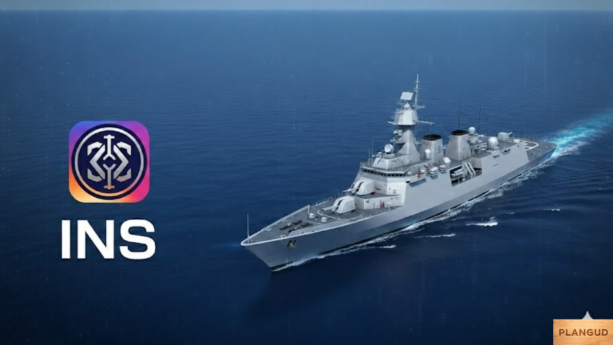
INS in Maritime Navigation and Security
Submarines rely almost exclusively on inertial navigation while submerged. Surface vessels use INS to stabilize heading when magnetic distortion or satellite blockage occurs.
In underwater depth measurement and barometric altitude measurement scenarios, inertial systems provide reliable continuity when GNSS signals degrade.
Advantages of INS Technology
Key advantages include independence from external signals, immunity to jamming, and continuous high-rate motion tracking.
For autonomous systems, robotics, and aerospace, this reliability makes INS indispensable.
You may also like: Miami Florida Verenigde Staten
Limitations and Error Sources in INS
The primary limitation is drift caused by accumulated sensor errors. Sensor bias, sensor drift, and environmental interference require correction.
Correction methods include:
- Calibration techniques
- Temperature compensation
- Real-time correction via RTK
- AI-based filtering using an Artificial Neural Network (ANN)
Budget vs accuracy tradeoff is a real engineering decision. Higher-grade sensors reduce long-term drift but increase cost.
The Future of INS in Modern Innovation

Modern navigation is shifting toward AI-enhanced systems. AI-based sensor filtering applies adaptive learning beyond linear statistical estimation.
Compared to the traditional Kalman Filter, ANN-driven approaches apply dynamic constraints and deeper sensor modeling, enabling smarter error tracking.
As robotics, aerospace, and mobility evolve, integrated INS-GNSS-AI systems will define next-generation navigation accuracy.
Conclusion
An Inertial Navigation System (INS) determines motion through inertial sensing, using accelerometers, gyroscopes, and advanced filtering to calculate position and orientation. While sensor drift remains a technical challenge, integration with GNSS, RTK, and AI-based filtering significantly improves reliability.
For mission-critical applications whether aerospace, defense, maritime, or autonomous systems INS remains a foundational navigation technology. Understanding how INS works enables smarter system selection, better integration decisions, and stronger long-term performance outcomes.
FAQs
1. What is the difference between an INS and a GPS?
An Inertial Navigation System (INS) calculates position using internal motion sensors, while GPS determines position using satellite signals from GNSS. INS works without external signals, making it reliable in tunnels, underwater, or jammed environments. GPS provides absolute global coordinates but depends on signal availability.
2. Why does an INS drift over time?
INS drift occurs because small sensor errors—such as sensor bias and sensor drift—are mathematically integrated over time. Even tiny inaccuracies in accelerometers or gyroscopes accumulate into position errors. This is why modern systems use Kalman Filter, RTK, or AI-based filtering to correct drift.
3. Can an INS work without GNSS or GPS?
Yes, an INS can operate completely independently using dead-reckoning. However, without GNSS integration, its positional error gradually increases due to accumulated sensor inaccuracies. For long-duration navigation, hybrid INS-GNSS systems provide better long-term stability.
4. How accurate is an Inertial Navigation System?
INS accuracy depends heavily on sensor quality and correction methods. High-grade systems using precision IMUs, Real-Time Kinematics (RTK), and advanced filtering can achieve centimeter-level positioning when combined with GNSS. Lower-cost systems are suitable for short-term motion tracking but may experience faster drift.
5. When should you choose INS over other navigation systems?
Choose INS when reliability is critical, and signal loss is likely, such as in aerospace, defense, underwater, or autonomous operations. It is especially valuable in environments where GPS may be blocked, jammed, or spoofed. For mission-critical applications, INS provides continuity that satellite-only systems cannot guarantee.
Share this content: